




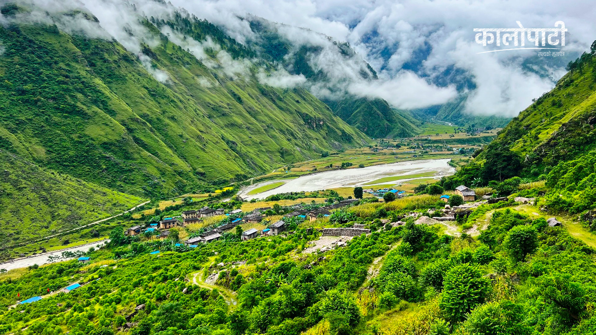
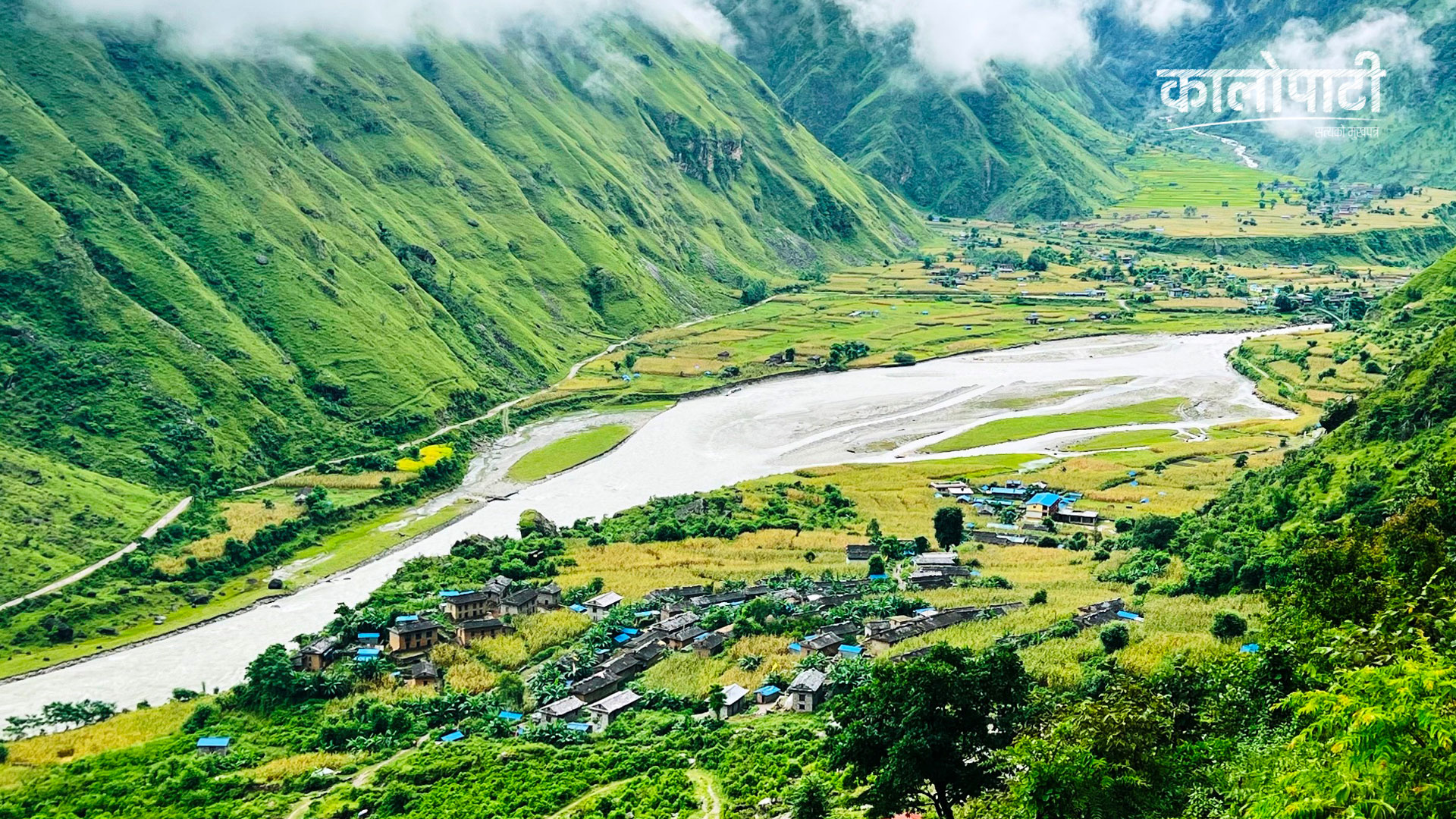
Kathmandu. Settlements clinging to the lap of steep land, deep rivers below and hills that seem ready to fall up. Amidst this geography, the residents of Nalgad Municipality-12 of Jajarkot and Aathbiskot Municipality-6 of Rukum West are running their daily lives.
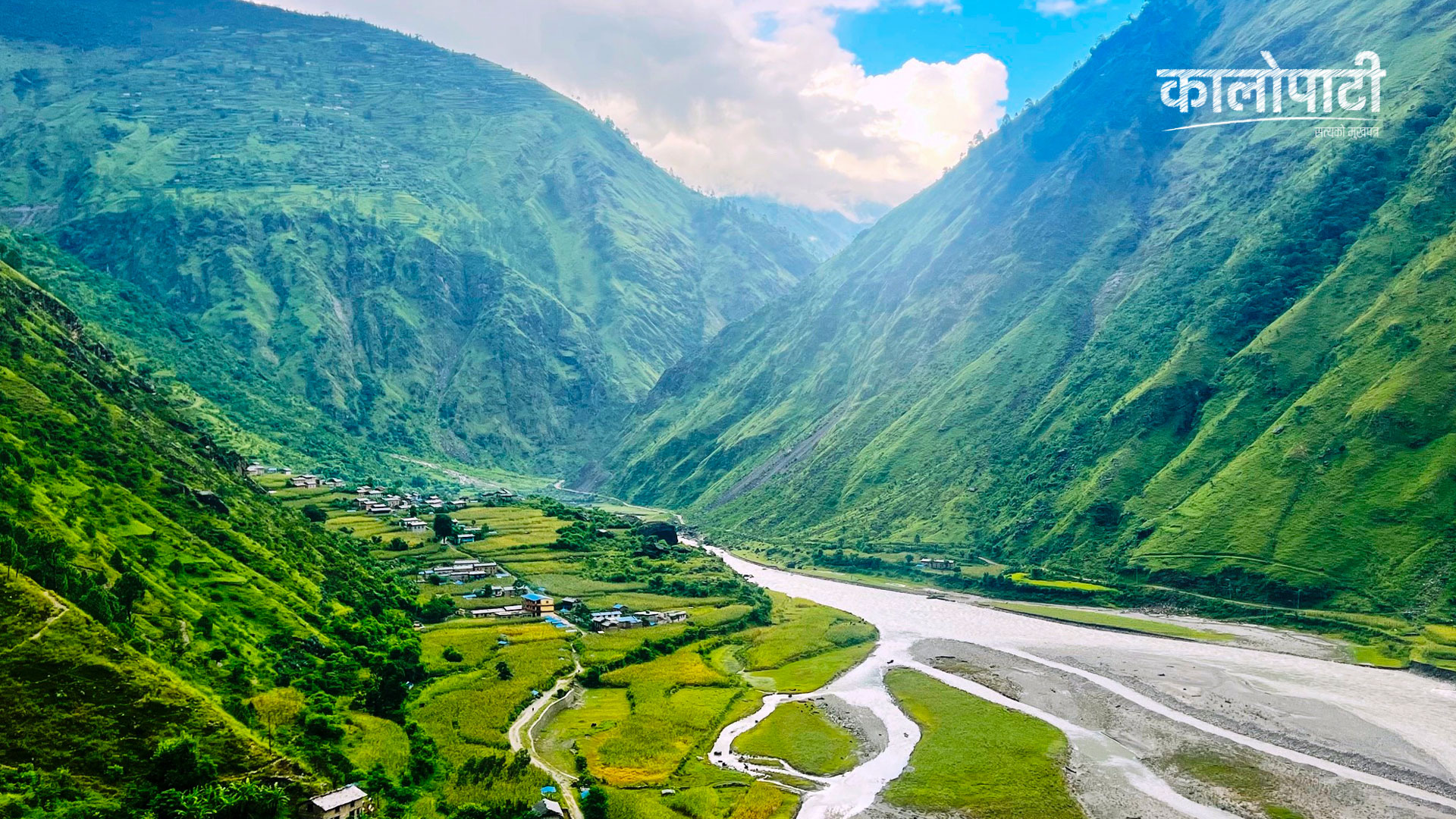
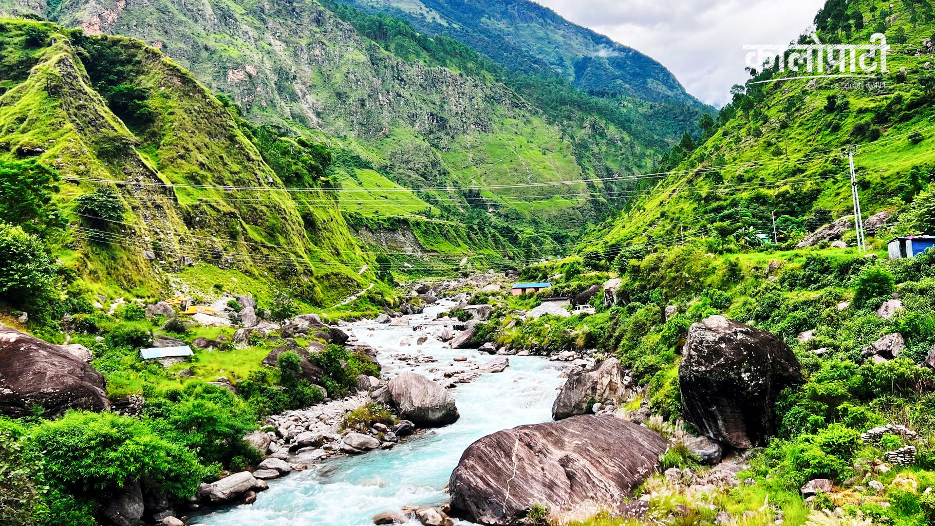
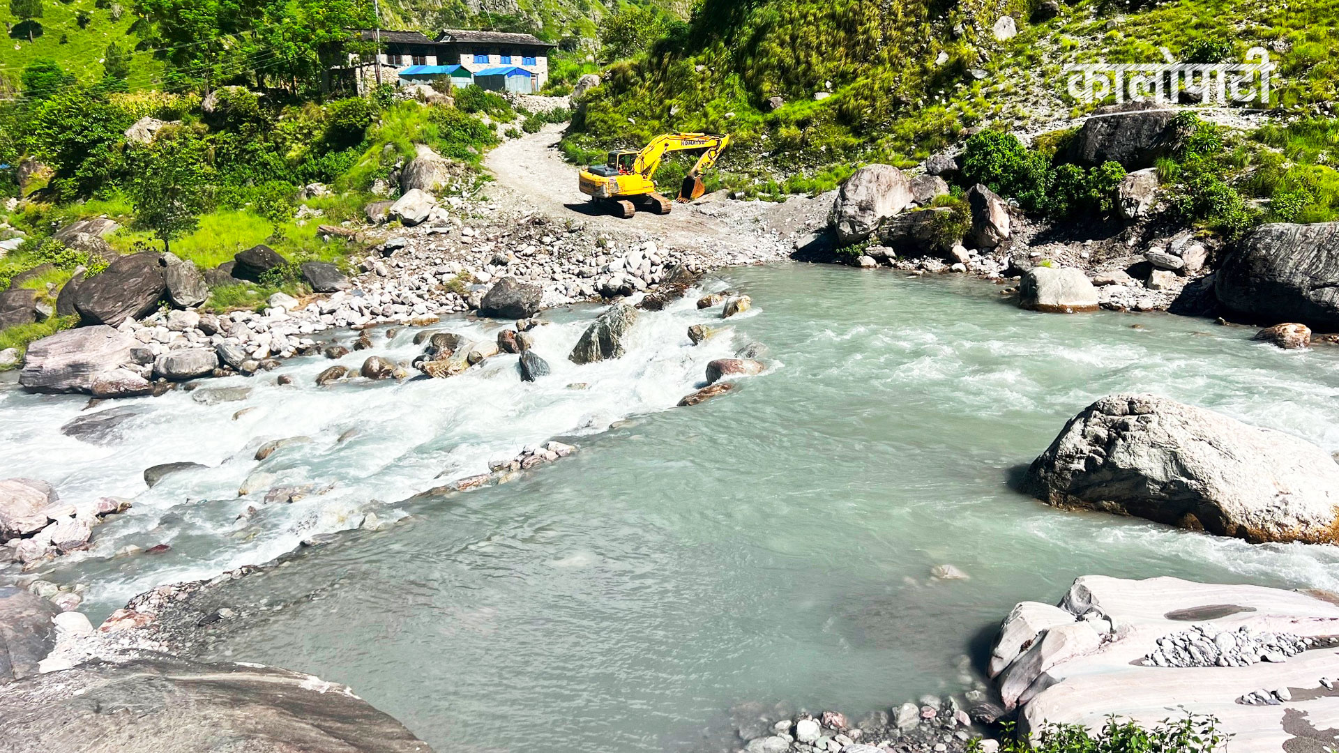
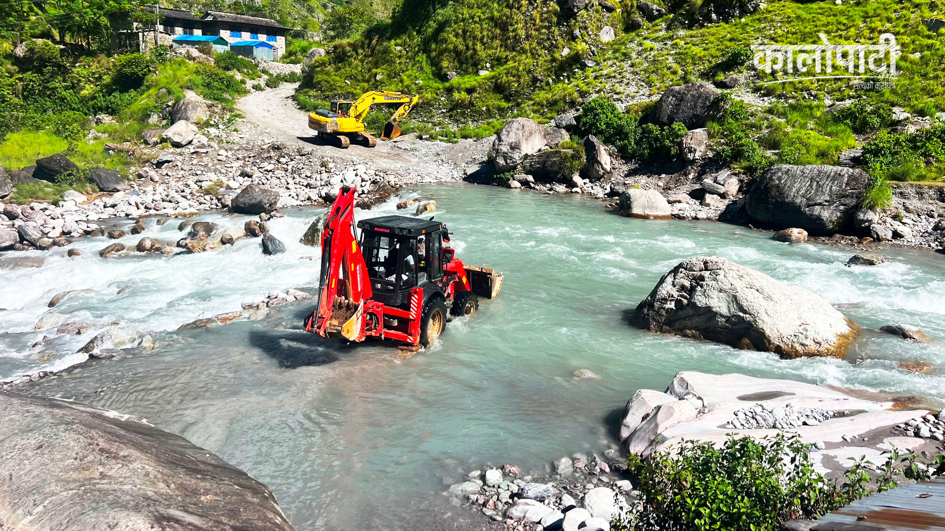
The road to Dolpa via the Bheri corridor has become the lifeline of these settlements. However, due to the lack of bridges over the rivers under the corridor, vehicles have to cross the river by taking risks during the rainy season. The increase in the flow of water has blocked the road and the road across the river.
Settlements like Aulagutta and Baikanda towards Jajarkot and Damachaur and Mulatara in the west of Rukum are on steep terrain. In some places, there are houses at the foot of the hills, and in others, there are settlements on the cliffs. As there is a risk of landslides falling from above and the river from below, the people here are worried when the rains start.
Although the geography is of Rukum West, the people of Jajarkot also live in some areas. People are connected to this geography despite the lack of safe land to live in and the risk due to old settlement.
The houses on the steep land on the one hand, the risk of floodless rivers and landslides on the other – the need for development and geographical risk are seen together in these settlements around the Bheri corridor. Looking at the settlements here, the question arises – how long can this life of living in the midst of risk continue like this?
Leave your comment